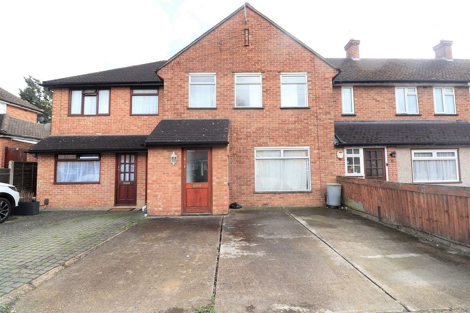
Some 17,000 brownfield sites have been identified and mapped in Britain, totalling around 27,700 hectares, which could provide space for more than 961,000 new homes.
The work by the National Federation of Builders (NFB) is aimed at helping local authorities to do more to get development underway where it is needed and help to tackle the current housing crisis.
The NFB is urging decision makers to use their mapping tool to better understand the challenges posed by the housing crisis, rather than assuming it shows nearly a million homes can be delivered.
It points out that in Brighton only 12 out of 162 identified brownfield sites are publicly owned, equating to a minimum of 773 homes while in Sheffield, the local authority could deliver up to 6,310 homes on 81 publicly owned brownfield sites. A total of 300 sites have been identified in the region, which could see 22,194 new homes constructed.
The mapping tool also uses data from out of date local plans. For example, in Horley in Surrey, a car park owned by the local authority has the potential to deliver 30 homes, despite serving residents, high street shoppers, commuters and local businesses.
‘This tool is another example of the private sector rising to the housing challenge. It may not give the full brownfield story, but it serves as a reminder that local authorities must do more to enable development within our existing communities,’ said Richard Beresford, chief executive of the NFB.
According to Rico Wojtulewicz, senior policy advisor of the House Builders Association (HBA), pointed out that there are even more brownfield sites that have not been covered, as well as sites that are not deliverable.
‘Mapping them helps the entire housing supply chain understand how complex land ownership and sites allocations really are,’ he added.


Having bought through Cameron, i felt they kept me update to date with everything that was going on. There was no hassle arranging viewings, and they helped me all the way through the process. Good, efficient service. Will definitely recommend!
... read more